Surveyed. Drilled. Engineered.
Borehole drilling in Kenya, built on field evidence.
A borehole drilling and water engineering company connecting hydrogeological surveys, drilling, test pumping and solar pumping in one engineered workflow.
- KSh 45kSurvey from
- KSh 6,500Per metre drilling
- 8Controlled stages
- 1Coordinated workflow
Integrated capability
From aquifer signal to usable water.
Each service can stand alone, but the strongest projects connect survey evidence, construction records, performance testing and correctly sized equipment.
HME / 01
Hydrogeological survey
Geophysical fieldwork and interpretation to identify a defensible drilling target.
HME / 02
Borehole drilling
Site-responsive drilling, casing and development for domestic, agricultural and institutional water projects.
HME / 03
Camera inspection
Downhole imaging to investigate casing condition, obstructions and borehole performance.
HME / 04
Pump installation
Pump, cable, controls and rising-main selection matched to yield, lift and daily demand.
HME / 05
Pump testing
Controlled discharge testing to measure drawdown, recovery and sustainable abstraction.
HME / 06
Elevated towers
Steel support structures and storage integration designed around distribution requirements.
HME / 07
Solarisation
Solar arrays, controllers and protection systems configured for the installed pump.
HME / 08
Technical consulting
Scope definition, rehabilitation guidance and coordinated water-system planning.
Project pathfinder
Where is your water project right now?
Select the situation that sounds closest to yours. The pathfinder shows the evidence Hamiki would normally request and the most useful next action.
Choose your starting point
Start by reducing geological uncertainty.
Share the site location and intended demand. A hydrogeological survey is normally the first technical input before depth, drilling method and construction scope can be discussed responsibly.
Project sequence
Decisions in the right order.
Depth and final specification cannot be responsibly promised before the site is investigated. Our workflow reduces assumptions as the project advances.
Define
Location, use case, demand and existing records.
Investigate
Hydrogeological and geophysical assessment.
Construct
Drilling, casing, screens and development.
Measure
Test pumping, recovery and water analysis.
Equip
Pump, power, storage and distribution.
See before you intervene
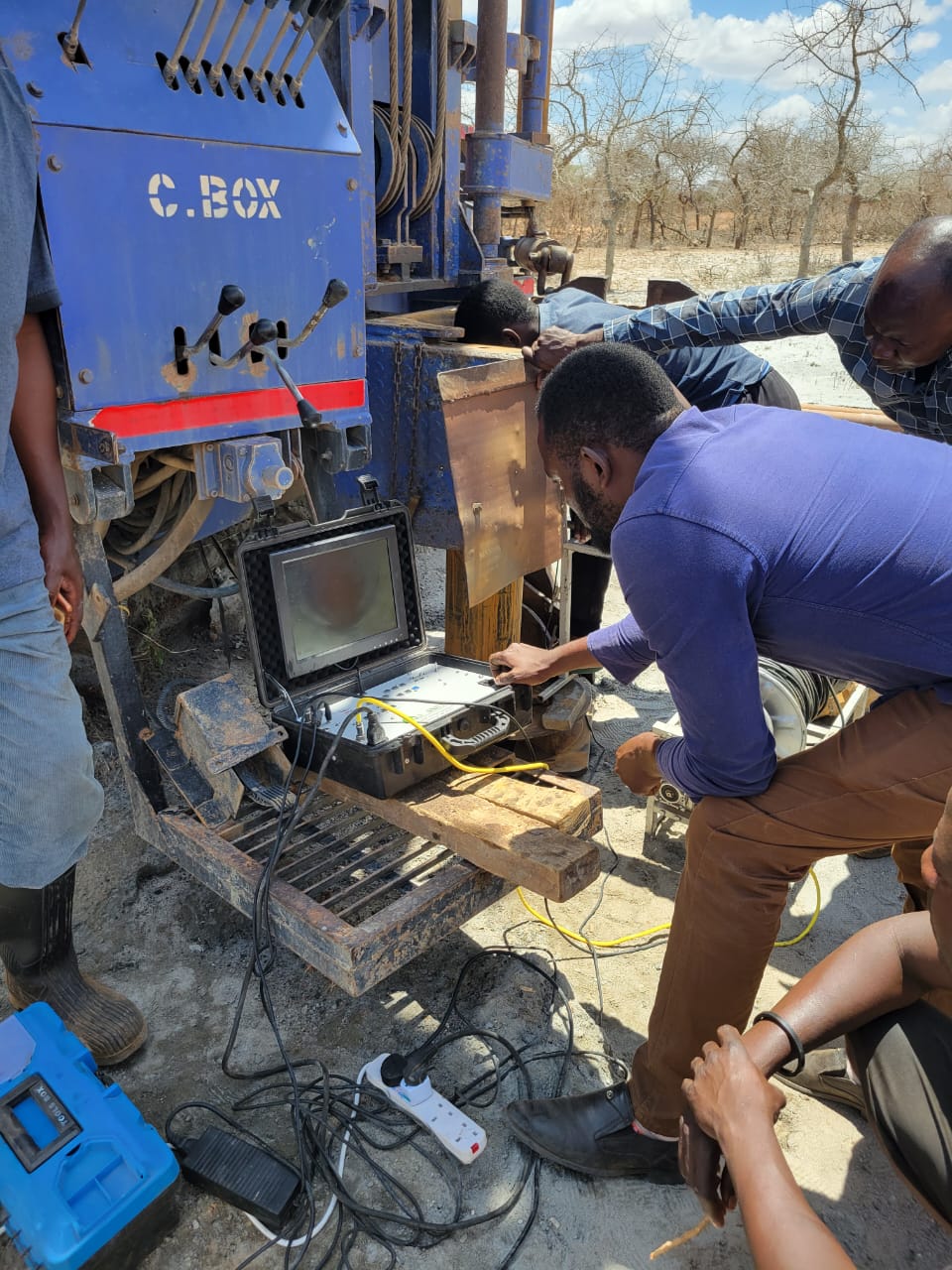
A camera can turn symptoms into evidence.
When an existing borehole loses yield, pumps fail repeatedly or construction records are unclear, immediate replacement is not always the best first decision.
 Inspect
casingLocate
fault
Borehole diagnostics
Look downhole before choosing the repair.
Camera footage can support a targeted rehabilitation plan by showing conditions that cannot be confirmed from the surface.
From the field
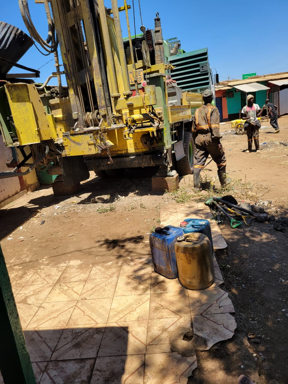
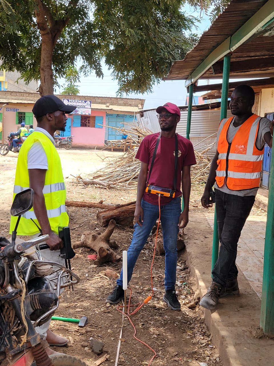
Real equipment. Real site conditions.
Hamiki’s work spans active drilling, downhole diagnostics and the engineering systems that move water after construction.
Design variables
One change below ground moves decisions above it.
This matrix shows why survey, test-pumping and demand information belong in the same conversation. It is a decision map—not a substitute for project calculations.
01
Exact location, intended daily water use and any survey or borehole report already available.
Start with the site